 Love music trivia? 🎵 Try Weekly Spin, our daily social music discovery diary!
Why Geography Games Make You Smarter
In an interconnected world, knowing where countries are located isn't just about winning trivial pursuit. It's about cultural literacy. But did you know that the act of learning these locations also boosts specific cognitive skills? When we play geography games, we engage in a complex mental process that stimulates multiple areas of the brain. The process of searching for and locating countries, regions, and landmarks forces our minds to organize spatial information systematically. This activity enhances spatial cognition, which is the ability to acquire, store, retrieve, and manipulate information about the spatial properties of our environment. Spatial cognition is a fundamental component of human intelligence, influencing our ability to navigate physical spaces, solve mathematical problems, and comprehend complex visual diagrams. By training our minds to recognize the positions and relationships of different countries, we are exercising our brain's spatial processing centers, helping to maintain cognitive agility. Geography games act as a powerful workout for spatial reasoning, showing that studying maps can have a profound impact on our general intelligence and ability to process complex visual data in our daily lives.
Spatial Reasoning and Mental Mapping
When you play Flag Guess or map quizzes, you are building a "mental map" of the world. Psychologists call this spatial reasoning. You aren't just memorizing a name; you are placing it in a 3D space relative to other objects. This process of mental mapping relies heavily on the hippocampus, a brain region critical for navigation, spatial memory, and the formation of long-term memories. The hippocampus contains specialized cells, such as place cells and grid cells, which function as a cognitive mapping system, helping us understand our position in space and plan routes. When we study geography, we are actively training this system, encouraging the brain to build more detailed, accurate, and flexible mental representations of the world. Research suggests that engaging in tasks that require spatial navigation and mental mapping can increase the volume and connectivity of the hippocampus, helping to protect against age-related cognitive decline and spatial disorientation. By regularly practicing geography quizzes, we are keeping our internal GPS systems active and healthy, showing that mental mapping is not just a study aid but a vital exercise for brain health.
"Is Mali next to Mauritania?" answering this requires mentally visualizing the map of West Africa. This exercise strengthens the hippocampus, the part of the brain responsible for navigation and spatial memory. Mentally visualizing maps requires a high degree of cognitive effort, as the brain must retrieve stored spatial coordinates and assemble them into a coherent mental image. This active visualization process stimulates the visual cortex and the parietal lobes, which are responsible for spatial attention and the integration of sensory information. The more we challenge ourselves to visualize different regions of the world, the more we strengthen the neural pathways associated with spatial memory and imagery. This makes it easier to navigate unfamiliar physical environments in the real world, as our brains become more adept at processing spatial cues and landmarks. The cognitive benefits of this training extend far beyond geography, improving our ability to read charts, interpret complex data visualizations, and understand the structural layouts of buildings and cities. Mental mapping is therefore a versatile cognitive skill that enhances our daily navigation and problem-solving abilities.
Pattern Recognition with Flags
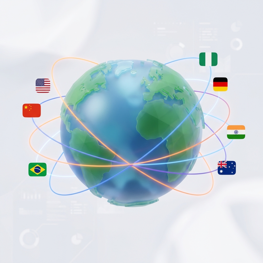
Identifying flags is a masterclass in pattern recognition. Many flags share colors (Pan-African colors, Pan-Slavic colors) or symbols (the Nordic Cross, the Crescent Moon). This branch of study, known as vexillology, offers a fascinating window into how human brains process and categorize visual symbols. Flags are designed to be instantly recognizable and highly symbolic, and their designs often follow specific historical, cultural, and political rules. When we learn to identify flags, we are training our visual processing systems to detect subtle differences in color, shape, and layout. This exercises our pattern recognition skills, which are crucial for tasks ranging from reading and language acquisition to computer programming and scientific analysis. By recognizing the design families of flags, we also learn to identify the relationships between different nations and cultures. For instance, the use of the Pan-African colors (red, gold, green, and black) or Pan-Slavic colors (blue, white, and red) is a deliberate choice that reflects shared history and political solidarity, demonstrating how vexillology combines visual analysis with historical context to enrich our understanding of global connections.
Global Connections
Learning that the flags of Colombia, Ecuador, and Venezuela are similar teaches you about the history of Gran Colombia. Geography is never just about lines on a map; it's about history. The historical borders of nations reflect past conflicts, alliances, and cultural migrations, and studying these borders helps us understand the modern world. For example, the similarities in the flags of Colombia, Ecuador, and Venezuela stem from their shared history as part of Gran Colombia, a short-lived republic in the early 19th century led by Simón Bolívar. Similarly, looking at the evolution of Central European borders, such as the division and unification of Germany, reveals how geopolitical events shape the lives and identities of millions of people. By understanding these historical connections, we can see the stories behind the maps, transforming static borders into dynamic records of human history. This historical perspective allows us to analyze modern international relations and conflicts with greater depth, recognizing that current borders are often the result of centuries of negotiations, wars, and cultural shifts. Geography and history are inseparable, and studying them together provides a richer, more nuanced view of our shared global heritage.
Combating "Place-Name Blindness"
We often hear news from around the world but struggle to contextualize it because we lack a mental reference point. By knowing where Ukraine, Taiwan, or Yemen are located, you gain a deeper understanding of current events. Geography games turn abstract names into concrete places with neighbors, coasts, and climates. This helps combat "place-name blindness," where foreign cities and countries are treated as abstract concepts rather than real places. When you read a news story about a conflict or a natural disaster, knowing its geographical location allows you to assess its regional impact and significance. For instance, understanding the proximity of Taiwan to China, or the strategic location of Yemen near major global shipping lanes, helps you comprehend the global economic and geopolitical implications of events in those regions. By turning abstract names into concrete geographic realities, you build a more detailed and connected mental model of the world. This contextual framework makes it easier to retain new information, understand complex international developments, and engage in informed discussions about global affairs, illustrating that geographic literacy is essential for modern citizenship.
The Traveler's Advantage
Finally, geography knowledge inspires travel. When you know that Croatia has a massive coastline or that Kyoto is the old capital of Japan, you are more likely to be curious about visiting. Games are the first step in a journey of real-world exploration. This curiosity is what we call the cartographic traveler's advantage. Having a strong mental map of the world makes travel planning much easier and more exciting, as you can visualize distances, plan efficient routes, and identify nearby attractions. Furthermore, when you visit a place you have studied, you experience it with a deeper level of appreciation and context. You understand why a city was built on a particular river, how the climate shapes the local agriculture and culture, and how the history of the region is reflected in its architecture and landmarks. This geographic awareness transforms travel from passive sightseeing into an active, immersive educational experience. By playing geography games, you are planting the seeds of curiosity, encouraging yourself to step out of your comfort zone, explore new horizons, and build a lifelong connection with the diverse landscapes and cultures of our planet.